
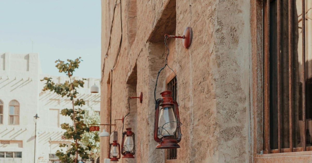
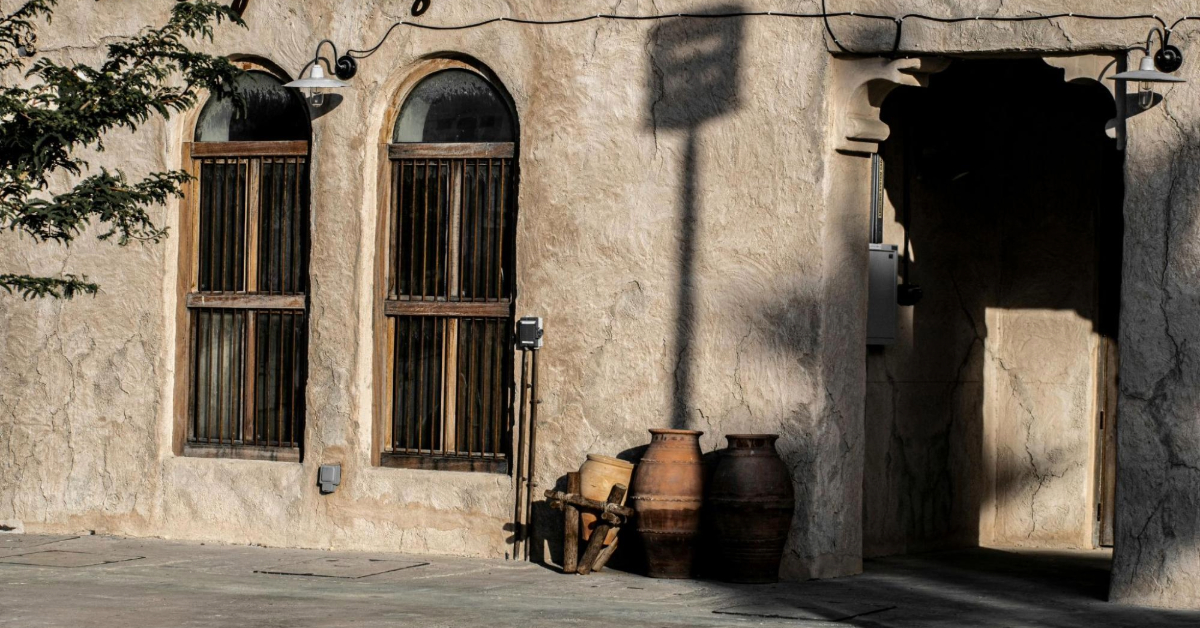
Al Seef is one of Dubai’s most popular destinations, known for its picturesque waterfront along Dubai Creek and a seamless blend of modern attractions and traditional Emirati heritage. With its buzzing cafes, boutique shops, and cultural spaces, Al Seef has become a must-visit for both tourists and residents.
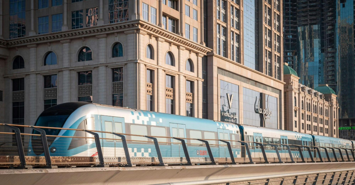
For visitors relying on public transport, the Dubai Metro provides an efficient and affordable way to reach Al Seef. In this guide, we will cover everything you need to know about how to go to Al Seef by Metro, including nearby stations, walking routes, alternative transport options, and travel tips.
- A quick overview of Al Seef and its connectivity
- Nearest Metro stations to Al Seef
- Step-by-step directions: Metro to Al Seef
- Other public transport connections (bus & ferry)
- Metro timings, costs, and tips
- Accessibility and walking routes
- Route planning tools and apps
- Key Takeaways
- FAQs
A quick overview of Al Seef and its connectivity
Al Seef stretches along Dubai Creek, showcasing a mixture of restored heritage buildings and contemporary architecture. The area is designed to reflect Dubai’s rich trading history, featuring bustling souks, pedestrian-friendly walkways, restaurants, and cultural centres.
Visitors can access Al Seef easily via public transport, with several Metro stations, bus stops, and even water taxis nearby. Using the metro is particularly convenient for those staying in central Dubai, making it a cost-effective and reliable way to reach the destination.
Key Highlights
Al Seef offers a blend of culture, shopping, and leisure along Dubai Creek. Here are the key highlights that make it a popular spot for visitors.
Location
It is located in Dubai Creek, Al Seef Waterfront.
Attractions
Heritage Village, Al Seef Souq, Creekside Cafés, Riverside Promenade
Accessibility
Metro, buses, ferry, and taxis are available.
Walking
Safe and well-signposted routes from nearby stations
Nearest Metro Stations to Al Seef
To make your visit hassle-free, it’s essential to know which Metro stations are closest to Al Seef. Depending on your starting point and preferences, you can choose between BurJuman, Union, or Al Fahidi stations.
Primary Metro Stations
- BurJuman Metro Station – The most recommended stop for Al Seef. It is less than 1 km away, roughly a 10-15 minute walk. Both the Red and Green Lines serve this station, offering flexible connectivity.
- Union Metro Station – Around 1.5 km from Al Seef, approximately a 17-minute walk. Union Station also provides convenient access to ferries and taxis.
- Al Fahidi Metro Station – Suitable for Green Line commuters; slightly longer walking distance of about 15-18 minutes. Ideal for those exploring the Old Dubai or Creek areas.
Station Comparison Table
This table compares nearby metro stations to help you choose the most convenient way to reach Al Seef. It highlights walking distances and provides helpful notes for each option.
| Metro Station | Metro Line | Walking Distance | Notes |
|---|---|---|---|
| BurJuman | Red/Green | 1 km (10-15 min) | Direct access; recommended for the easiest route |
| Union | Red/Green | 1.5 km (17 min) | Alternative via ferry or taxi |
| Al Fahidi | Green | 1.2 km (15-18 min) | Suitable for Old Dubai/Creek area |
Step-by-Step Directions: Metro to Al Seef
The journey from the Metro to Al Seef is straightforward, and you can choose from multiple stations depending on your route and convenience.
Using BurJuman Station (Recommended)
BurJuman is the closest and most convenient station for reaching Al Seef. The walk is scenic and passes through well-maintained streets.
- Board the Dubai Metro Red or Green Line and alight at BurJuman Station.
- Follow the signage for “Dubai Creek” or “Al Seef” to exit the station.
- Walk south along Khalid Bin Al Waleed Road or Al Seef Street for approximately 10-15 minutes (less than 1 km).
Alternative Routes
- Union Metro Station: Exit and either walk 17 minutes to Al Seef or take a taxi for a 5-minute ride costing AED 16-20. Visitors can also use the ferry service from Baniyas Marine Transport Station to Al Seef Marine Transport Station, which takes approximately 5 minutes and costs AED 2-3.
- Al Fahidi Metro Station: Walk 15-18 minutes along pedestrian-friendly streets leading directly to Al Seef.
Other Public Transport Connections: Bus and Ferry
Al Seef is also accessible via buses and water transport, providing flexibility for visitors who prefer alternatives to walking.
Bus Options
Several RTA bus routes serve Al Seef and the surrounding Creek area. These include routes C10, F70, C1, 21, 29, and C18. The closest bus stop is Al Seef Marine Transport Station, just a 3-minute walk from the waterfront.
Ferry and Water Taxi
For a more scenic journey, visitors can take Dubai RTA ferries or traditional abras:
- Dubai RTA Ferry: CR6 route from Baniyas Marine Transport Station to Al Seef Marine Transport Station. Ferries operate every 30 minutes, and the journey takes approximately 5 minutes for AED 2–3.
- Traditional Abras: Operate from Deira to the Creek side, offering a cultural experience along with transportation.
Metro Timings, Costs, and Tips
Dubai Metro is a fast, reliable, and affordable mode of transport for reaching Al Seef.
- Metro runs from early morning (first train around 5:38 AM) until late night (last train around 12:38 AM).
- Travel time from Downtown or the airport is roughly 20 minutes by metro.
- Standard single-journey fares range from AED 4–6, depending on zones.
- Tickets can be purchased using a Nol Card at any metro station.
- For detailed fares and real-time schedules, check the RTA website or the Moovit app.
Accessibility and Walking Routes
Al Seef’s walking paths are well-lit, pedestrian-friendly, and safe. Directional signage at BurJuman and Union stations makes navigation easy.
- Clear road signage at BurJuman and Union Metro Stations guides you toward Al Seef.
- Walking routes are pedestrian-friendly, taking you through both historic and commercial areas.
- Wheelchair users should verify station accessibility before travelling.
Route Planning Tools and Apps
To ensure a smooth journey to Al Seef, the following tools are highly recommended:
- Moovit App: Live public transport directions, real-time schedules, and walking routes.
- RTA App: Official schedules, ticketing, and updates from Dubai Roads and Transport Authority.
- Rome2Rio: Journey planner with fare comparison and alternative transport options.
Key Takeaways
BurJuman Metro Station is the most convenient stop for reaching Al Seef, with an easy 1 km walk. Other nearby stations include Union Station, which offers ferry or taxi connections, and Al Fahidi, which is also within walking distance.
The metro runs daily with affordable fares averaging AED 4-6, and the walking routes from these stations are safe, direct, and clearly signposted. For real-time schedules and smooth route planning, apps like Moovit and the RTA app are helpful tools.
FAQs
Both Red and Green Lines connect to BurJuman Station, the closest stop to Al Seef.
Approximately 1 km, typically a 10-15 minute walk.
Yes, several bus routes serve the area, and Dubai RTA ferries or abras connect to the Al Seef Marine Transport Station.
Yes, streets are well-lit, pedestrian-friendly, and located in busy commercial areas.
Single journey fares range from AED 4-6, payable via Nol Card.


